A leaking landfill, gas facility, pipeline or industrial site can release methane into the atmosphere without leaving an obvious trace on the ground. Finding those emissions has traditionally required aircraft, specialist equipment, field measurements and painstaking analysis of satellite imagery.
Now, scientists are turning artificial intelligence and an instrument aboard the International Space Station into a global methane-hunting system.
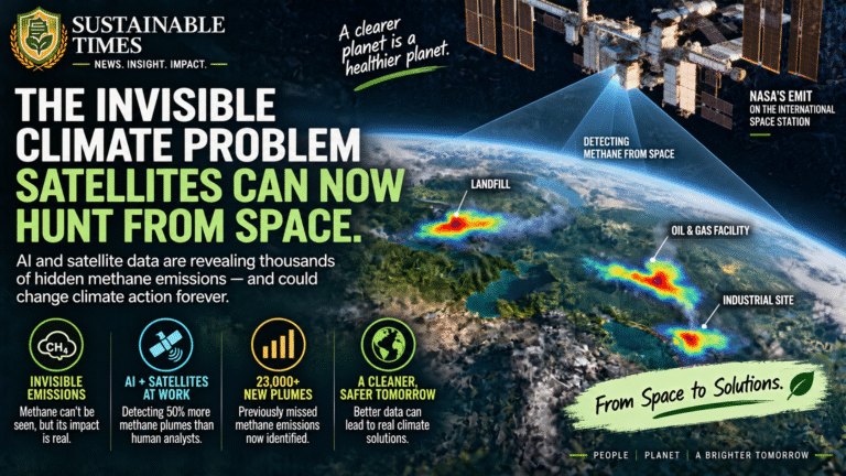
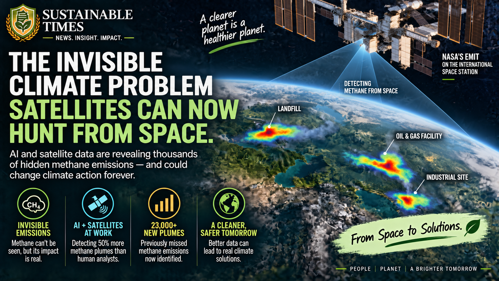
Google Research and NASA’s Jet Propulsion Laboratory have developed MAPL-EMIT, a deep-learning model that can automatically identify methane plumes in hyperspectral observations collected from space. In a new study published in the Proceedings of the National Academy of Sciences, the researchers report that the system detected around 50% more methane plumes than human analysts and identified more than 23,000 additional plumes across the global EMIT archive.
The significance goes beyond a better satellite map.
For the first time, technology is beginning to make one of the world’s most difficult greenhouse gases much easier to see at global scale.
A greenhouse gas that is difficult to find
Methane does not remain in the atmosphere as long as carbon dioxide, but it has a much stronger warming effect over shorter periods. That makes methane reductions particularly important for slowing near-term warming.
The problem is that methane emissions are often highly concentrated.
One facility can release a substantial amount through a leak, malfunction or inefficient operation. These sources are sometimes described as “super-emitters” because a relatively small number of sites can account for a disproportionately large share of emissions.
Finding those sources quickly can therefore have an outsized climate benefit.
But methane is invisible to the human eye, and satellite observations can be complicated by clouds, terrain, vegetation and other atmospheric or surface signals.
That is where MAPL-EMIT comes in.
The satellite already in orbit was carrying an unexpected climate tool
The system uses data from EMIT, the Earth Surface Mineral Dust Source Investigation instrument mounted on the International Space Station.
NASA originally designed EMIT to study mineral dust from Earth’s deserts and other dry regions. Its imaging spectrometer captures information across a broad range of wavelengths. Methane leaves a distinctive spectral signature within that information, creating an opportunity to use the instrument for greenhouse-gas detection as well.
The challenge was scale.
Human analysts can inspect individual satellite scenes and identify methane plumes, but manually examining enormous volumes of imagery is slow and difficult. MAPL-EMIT was designed to automate much of that process.
The researchers trained the model using 3.6 million physics-simulated methane plumes, teaching the system to distinguish methane signals from complicated backgrounds and identify where emissions are occurring.
Instead of asking a person to search through every image, the AI can process the observations and highlight potential methane sources.
That changes the economics of monitoring.
More than 23,000 additional plumes appeared
When the researchers applied MAPL-EMIT across the EMIT archive, the model identified more than 23,000 methane plumes that had not previously been captured by human analysis. It also detected methane at 24 of the world’s 25 largest-emitting landfills, according to Google Research.
The findings include emissions sources in different parts of the world, including locations in India, the United States, Brazil, China, Poland and Turkmenistan.
That geographic spread matters because methane is a global climate problem, but its sources are often local.
A landfill operator needs to know where a leak is occurring.
A regulator needs to know which facilities are emitting.
A company needs to know whether its infrastructure is performing as expected.
Climate researchers need to understand how emissions are distributed across the planet.
A global monitoring system can potentially connect all of those needs.
From detecting emissions to doing something about them
The real value of the technology will not come from producing a more impressive map.
It will come from what happens after a methane plume is identified.
If a satellite detects a large emission from a landfill, operators can investigate the site and determine whether landfill-gas collection systems are functioning correctly.
If a plume appears around oil and gas infrastructure, operators can inspect equipment and repair leaks.
If governments can repeatedly observe emissions from the same facilities, satellite data could also strengthen environmental monitoring and enforcement.
That creates a potentially powerful feedback loop.
See the emission. Find the source. Fix the problem. Measure it again.
The satellite does not solve the emissions problem by itself. It makes the problem easier to locate.
That distinction is important.
The technology could change how accountability works
For years, environmental monitoring has faced a fundamental information problem.
Companies and regulators cannot easily manage emissions they cannot reliably see.
Methane has been particularly difficult because emissions can vary rapidly. A facility may appear relatively normal during one inspection and release a significant plume at another time.
Frequent satellite monitoring can potentially reduce some of that blind spot.
The new research also makes the resulting data more accessible. Google has released the global methane plume database through Google Earth Engine, alongside tools and open-source resources intended to allow researchers, policymakers and other users to work with the information.
That could be just as important as the AI model itself.
A climate-monitoring technology becomes more useful when scientists and governments can independently examine the underlying information rather than relying entirely on a single organisation’s interpretation.
Why landfills are an especially important target
One of the striking findings from the research is the number of major landfill emissions detected.
Landfills are an important methane source because organic waste decomposes without oxygen and generates landfill gas, which contains methane.
Capturing that gas can prevent emissions from reaching the atmosphere while potentially providing a usable energy source.
The problem is that landfill emissions can be uneven and difficult to monitor continuously.
Finding major plumes from space could help operators identify where intervention is most urgent.
It could also expose a less visible side of the global waste crisis.
The world’s waste problem is not only about overflowing landfills, plastic pollution or recycling rates. It also has a climate dimension that can remain hidden beneath the surface.
Methane monitoring makes that dimension easier to see.
AI is becoming part of the climate monitoring infrastructure
The methane project points to a larger transformation taking place in environmental science.
Satellites already generate enormous amounts of information about forests, oceans, agriculture, air pollution, glaciers and land use.
The limiting factor is increasingly not whether data exists.
It is whether humans can process all of it quickly enough.
Artificial intelligence can help turn raw observations into information that decision-makers can act on.
That does not mean AI replaces scientists.
In the MAPL-EMIT project, researchers still had to build the physical and scientific foundations of the system, develop training data, test its performance and interpret its limitations.
AI is acting as a force multiplier.
It allows researchers to examine a much larger volume of environmental information than would be practical through manual analysis alone.
Seeing methane is only the beginning
There is still a major gap between detecting an emission and reducing it.
A satellite can identify a plume, but someone still needs to investigate the source. An operator needs the equipment and financing to repair it. A regulator needs the authority and capacity to enforce standards. And governments need policies that make methane reductions economically worthwhile.
There are also technical limitations.
Satellite observations do not provide a perfect continuous picture of every methane source. Clouds, observation conditions, detection thresholds and the timing of satellite passes can all affect what can be observed.
The researchers therefore present MAPL-EMIT as an important advance in global monitoring, not as a complete replacement for ground measurements and other monitoring systems.
The strongest climate-monitoring systems will likely combine satellites, aircraft, ground sensors and direct measurements rather than depend on one technology alone.
The climate advantage of finding emissions faster
Methane offers an unusual opportunity in the climate fight.
Because it remains in the atmosphere for a much shorter period than carbon dioxide, reducing methane emissions can deliver relatively rapid climate benefits.
That makes accurate detection particularly valuable.
If a major methane source can be found within days or weeks rather than months or years, action can potentially follow much sooner.
And if the same source can be monitored repeatedly, technology can begin measuring whether the intervention actually worked.
That turns satellite observation into something more than scientific surveillance.
It becomes a potential accountability mechanism.
A new kind of climate map
For decades, maps have helped humanity understand where forests are disappearing, where temperatures are rising and where ice is retreating.
The next generation of climate maps may show something we cannot see with our own eyes at all.
Methane.
The significance of MAPL-EMIT is therefore not simply that an AI model found thousands of additional plumes. It is that a greenhouse gas once difficult to monitor at global scale is becoming increasingly measurable, searchable and actionable.
That could change the relationship between emissions and accountability.
The atmosphere may still hide methane from human eyes.
But increasingly, it is no longer hiding it from the machines watching Earth from above.
About The Author