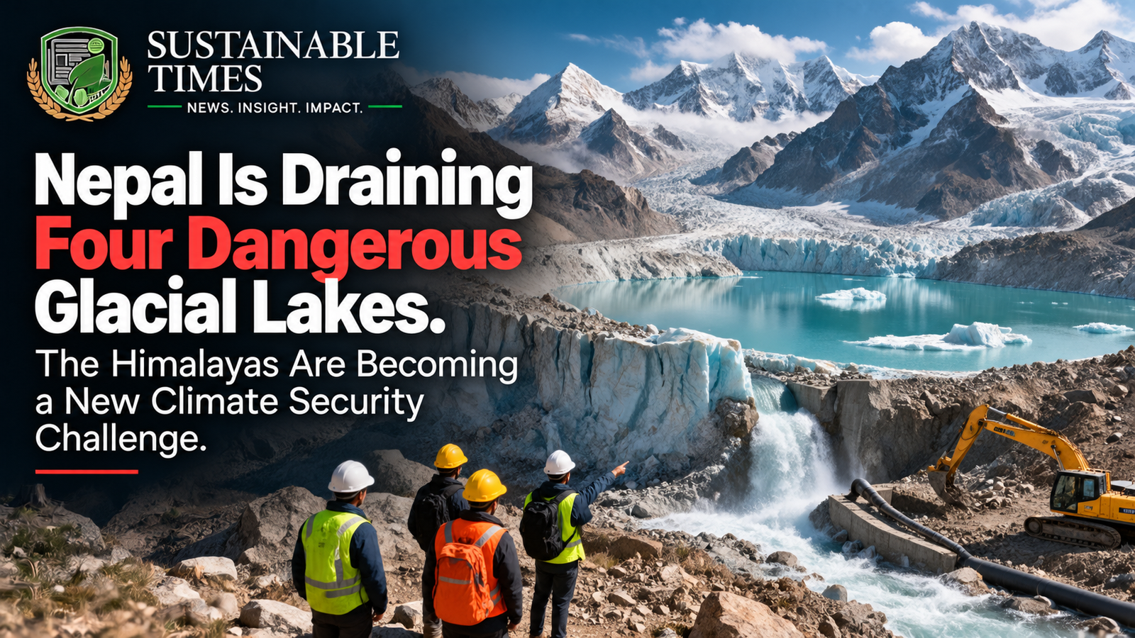
High above Nepal’s valleys, thousands of metres above the towns and roads below, four lakes have become the focus of an extraordinary engineering effort.
Nepal plans to begin work on Thulagi, Lower Barun, Lumding Tsho and Hongu II, four high-altitude glacial lakes considered among the country’s most dangerous.
The objective is simple: lower the amount of water stored behind unstable natural barriers before those lakes can unleash destructive floods downstream.
The decision comes only weeks after a devastating glacier-related disaster along the Nepal-China border killed more than 1,400 people, while more than 5,000 remained missing according to the latest reporting.
Nepal’s planned intervention will cost around $50 million and involve controlled drainage structures, sensors, flood forecasting and community resilience measures. The work could take as long as six years.
It is an unusually direct response to a problem that is becoming increasingly difficult for Himalayan countries to ignore.
The glaciers are changing. The lakes they leave behind are growing. And the communities living below them have very little room for error.
The lakes are sitting thousands of metres above people’s homes
The four targeted lakes are not ordinary mountain lakes.
They sit between approximately 4,050 and 5,483 metres above sea level, in terrain where access is difficult, weather can change rapidly and even routine engineering work becomes dangerous.
Glacial lakes form as glaciers retreat and meltwater collects behind natural barriers made from rock, sediment, ice and other debris.
The danger comes from what holds that water back.
Unlike a carefully engineered reservoir, a natural moraine or ice barrier can be unstable.
An avalanche, landslide, earthquake, sudden ice collapse or extreme rainfall can disturb the system.
If the barrier fails, millions of cubic metres of water can rush downhill.
That event is known as a glacial lake outburst flood, or GLOF.
The consequences can travel far beyond the lake itself.
A flood can destroy bridges, roads, hydropower facilities, farmland and settlements in a matter of minutes.
Nepal has already experienced the warning
The urgency is not theoretical.
Nepal has experienced 26 glacial lake outburst floods over the past 40 years, according to reporting based on officials and experts involved in the country’s risk-management efforts.
The recent disaster made the vulnerability impossible to ignore.
The August glacier collapse near the Nepal-China border generated a destructive chain of landslides and floodwaters that tore through valleys.
The disaster was not technically a GLOF at its origin. ICIMOD has clarified that the event began with an ice-rock avalanche and subsequent debris flow, rather than the sudden release of a pre-existing glacial lake.
That distinction is scientifically important.
But the larger lesson remains the same.
Mountain communities are increasingly exposed to hazards created by a rapidly changing cryosphere.
A collapsing glacier can create a lake.
A growing lake can threaten a downstream valley.
A landslide can dam a river.
A temporary lake can then fail.
The Himalayas contain many interconnected hazards, and climate change is altering the conditions under which they develop.
Why warmer temperatures are changing the risk
Glaciers are not static bodies of ice.
They respond to temperature, snowfall, precipitation and other environmental conditions.
As temperatures rise, many Himalayan glaciers retreat and thin.
That can expose depressions that gradually fill with meltwater.
Some lakes expand.
Some develop unstable barriers.
The International Centre for Integrated Mountain Development has long warned that glacier retreat and the formation or enlargement of glacial lakes can increase GLOF risks in the Hindu Kush Himalaya.
The important point is that climate change does not need to directly produce a flood to increase flood risk.
It can reshape the landscape first.
The resulting landscape may then become more vulnerable to other triggers.
That makes climate adaptation in mountain regions particularly difficult.
The hazard can evolve slowly for years and then become catastrophic within minutes.
Nepal’s solution is not to empty the lakes completely
The proposed project is more sophisticated than simply draining four lakes.
Authorities plan to use controlled drainage through gated structures after detailed studies determine how the intervention should be carried out.
The goal is to reduce the amount of water stored behind the natural barriers.
Experts say that lowering lake levels by around three metres can significantly reduce the potential threat from some dangerous lakes.
That does not eliminate the hazard.
It changes the amount of energy and water available if the natural barrier fails.
Think of it as reducing pressure before a dangerous system reaches its breaking point.
But doing this at more than 4,000 metres above sea level is not simple.
Workers have to operate in extreme environments where oxygen levels are low, temperatures are severe and sudden flooding or avalanches can create additional danger.
The project is about more than drainage
Nepal’s planned $50 million programme will also include sensors, flood forecasting systems and community resilience measures.
That is important because engineering alone cannot eliminate mountain risk.
A controlled drainage structure can reduce the volume of water.
A sensor can detect changes.
A forecasting system can provide additional warning.
But people still need to know what the warning means.
Communities downstream need evacuation routes.
Local authorities need communication systems.
Emergency services need access.
Infrastructure operators need contingency plans.
The strongest adaptation system therefore combines physical intervention with information and preparedness.
Satellites are becoming part of the mountain rescue system
The Himalayas are among the most difficult places on Earth to monitor continuously from the ground.
That is why satellite observation is becoming increasingly important.
During previous emergencies, authorities have used satellite imagery to monitor newly formed lakes and changes in water levels where direct access was extremely difficult.
Satellite data can provide information about lake expansion, glacier movement, landslides and changes in surrounding terrain.
But satellites are not a complete solution.
Cloud cover can interfere with observations.
Images are not necessarily available continuously.
And knowing that a lake is changing is different from knowing exactly when a natural barrier will fail.
That is why the future of mountain-risk monitoring will likely depend on combining satellite observations with ground sensors, field surveys, weather information and local knowledge.
The problem is spreading beyond one valley
The four lakes chosen by Nepal are located in different parts of the country’s mountain landscape.
Their elevations range from around 4,050 metres to almost 5,500 metres.
That geographical spread illustrates the scale of the challenge.
This is not one dangerous lake that can be fixed once.
It is a landscape-level problem.
Across the Hindu Kush Himalaya, glaciers are changing and communities downstream depend on rivers originating in high mountain areas.
Those rivers support agriculture, drinking water, ecosystems and hydropower.
The mountains therefore function as a giant water-storage system.
Climate change is altering that system.
And the consequences reach agriculture
The connection between glacial lakes and agriculture may not be obvious.
Most farms are far below the glaciers.
But mountain water eventually moves downstream.
Rivers originating in the Himalayas support irrigation, drinking water and ecosystems across some of Asia’s most densely populated regions.
A sudden flood can destroy fields.
A landslide can block roads used to transport agricultural products.
A damaged bridge can isolate farming communities.
A destroyed hydropower facility can disrupt electricity supplies.
And changes in long-term water availability can affect planting decisions and crop yields.
So glacier risk is not simply a mountain issue.
It is also a food-system issue.
Hydropower faces another difficult calculation
Nepal has enormous hydropower potential.
Its mountainous terrain and river systems provide the basis for a growing electricity sector.
But the same landscape that makes hydropower possible can expose projects to floods, landslides and debris flows.
The recent disasters have already damaged infrastructure, including hydropower facilities, according to reporting from the region.
This creates an uncomfortable contradiction.
Mountain countries need hydropower to support economic development and a lower-carbon electricity system.
But climate-driven changes in mountain hazards can make hydropower infrastructure more vulnerable.
The answer is not necessarily to stop building.
It is to design infrastructure around a much more dynamic mountain environment.
That means stronger hazard assessments, better monitoring and infrastructure capable of coping with conditions that may differ significantly from historical averages.
Nepal is being forced to adapt to a problem it barely caused
There is a particularly uncomfortable dimension to this story.
Nepal contributes very little to global greenhouse-gas emissions compared with major industrial economies.
Yet it sits directly in one of the world’s regions most exposed to changes in the cryosphere.
That creates a familiar climate-justice problem.
The countries and communities experiencing some of the most dangerous consequences are not necessarily the countries responsible for most historical emissions.
Nepal now has to spend money protecting communities from risks associated with a changing climate while also dealing with the enormous costs of economic development, infrastructure and disaster recovery.
Officials have estimated that the country will need nearly $5 billion for early recovery following the recent disaster.
Against that figure, a $50 million preventive project begins to look less like an environmental expense and more like insurance.
Prevention can be cheaper than rebuilding
This may be the strongest economic argument for the project.
Once a flood destroys a bridge, rebuilding it costs money.
Once a hydropower station is damaged, electricity generation is lost.
Once homes are destroyed, families need support.
Once farmland is buried under debris, agricultural recovery can take years.
Preventive infrastructure does not eliminate all risk.
But reducing the size of a disaster can significantly reduce its eventual cost.
The challenge is persuading governments and international financiers to spend money before the disaster occurs.
Politics naturally rewards visible responses to crises.
Risk reduction is different.
If a drainage system works perfectly, nothing dramatic happens.
There is no spectacular rescue.
No destroyed bridge.
No emergency reconstruction.
The success of prevention can therefore look like nothing happened.
But that is precisely the point.
The six-year timeline tells its own story
Nepal’s proposed lake-drainage work could take up to six years.
That may sound slow.
But high-altitude engineering cannot be rushed safely.
Detailed studies need to establish how the lakes behave.
Engineers need to design structures capable of surviving extreme conditions.
Workers need safe access.
Monitoring equipment needs to operate reliably.
Communities need warning systems.
And the intervention itself cannot create a new hazard.
The six-year timeframe is therefore a reminder that climate adaptation is not always about quick technological fixes.
Some problems require long-term engineering and institutional commitment.
There is a difficult question about how many lakes can be managed
Nepal is targeting four lakes.
But there are many more glacial lakes across the Himalayas.
The question eventually becomes one of prioritisation.
Which lakes pose the greatest risk?
Which communities are downstream?
How much would intervention cost?
Would drainage actually reduce the risk sufficiently?
Could engineering work itself destabilise the lake?
Would monitoring and early-warning systems provide better value?
These are difficult decisions.
Not every dangerous lake can necessarily be drained.
And not every lake should be.
Some interventions could create environmental consequences of their own.
The most effective strategy may therefore involve a combination of engineering, monitoring, land-use planning and preparedness.
The Himalayas are becoming a test of climate adaptation
For decades, climate policy focused heavily on mitigation.
Reduce emissions.
Replace fossil fuels.
Build renewable energy.
Improve efficiency.
Those efforts remain essential.
But even if global emissions decline rapidly, some climate impacts are already underway.
Glaciers have already changed.
Sea levels are already rising.
Heat extremes are already increasing.
Mountain landscapes are already responding.
That makes adaptation unavoidable.
Nepal’s glacial-lake project is therefore part of a much larger global experiment.
Can societies identify emerging risks early enough to reduce them?
Can governments invest before disaster?
Can climate finance reach vulnerable communities?
Can technology provide useful warnings?
And can infrastructure be designed for a climate that no longer behaves like the past?
The answer may lie in combining old knowledge with new technology
Mountain communities have lived with landslides, floods and changing weather for generations.
They know the rivers.
They know the terrain.
They know which routes become dangerous.
Modern monitoring can add another layer.
Satellites can observe inaccessible terrain.
Sensors can measure water levels.
Weather models can improve forecasts.
Digital communications can distribute warnings.
Engineering can reduce physical risk.
The strongest systems will probably combine all of these rather than relying on one.
A satellite cannot evacuate a village.
A local resident cannot measure every change in a remote glacier.
A drainage structure cannot warn communities by itself.
Climate resilience is ultimately a network.
What happens in Nepal will matter to the rest of Asia
The Himalayas are often called the water tower of Asia because their glaciers and snowfields feed major river systems.
The region’s changing cryosphere therefore matters far beyond Nepal’s borders.
India, Pakistan, Bangladesh, Bhutan and China all depend on Himalayan water systems in different ways.
Changes in glacier behaviour can influence water availability, hazards and ecosystems across national boundaries.
That makes mountain adaptation a regional issue.
It also makes international cooperation increasingly important.
A dangerous lake does not care where a political boundary begins.
A flood does not stop because it has crossed into another country.
The science is regional even when the government response is national.
The bigger warning is hiding in plain sight
Nepal’s decision to drain four glacial lakes may initially sound like a highly specialised engineering story.
It is not.
It is a glimpse of the kind of climate adaptation that more countries may soon have to undertake.
The world is moving from asking “How do we prevent climate change?” to increasingly asking “How do we live safely with the changes already underway?”
The two questions must be answered together.
Mitigation determines how severe future warming becomes.
Adaptation determines how well communities cope with the consequences.
Nepal’s high-altitude lakes sit directly at that intersection.
The race is no longer only to save glaciers
Glaciers are often discussed as symbols of climate change.
A retreating glacier is visible evidence of a warming planet.
But the more immediate issue may be what happens because the glacier changes.
New lakes.
Unstable slopes.
Flood hazards.
Water-system changes.
Infrastructure risks.
Agricultural disruption.
Communities forced to adapt.
That is why the story of Himalayan glaciers should not end with photographs of melting ice.
The real story is downstream.
Nepal is trying to buy time
Draining four lakes will not stop Himalayan warming.
It will not restore every glacier.
It will not eliminate floods.
And it cannot guarantee that another dangerous lake will never form.
But it can reduce risk.
It can give communities more time.
It can give warning systems a better chance to work.
And, most importantly, it shows what climate adaptation looks like when a country stops waiting for disaster and starts modifying the landscape around an emerging threat.
The world often talks about climate resilience in broad terms.
In Nepal, resilience is becoming a concrete engineering project thousands of metres above sea level.
Four lakes. Fifty million dollars. Six years. And millions of people downstream who have little choice but to prepare for a mountain system that is changing beneath them.
The lesson is bigger than Nepal.
Climate adaptation is no longer something the future needs to prepare for. In many places, it has already begun.
About The Author